Carlson Survey GNSS
$1,800.00
Call Us at 888-299-6996 for Available Discounts.
Carlson SurveyGNSS post-processing software is a reliable and precise tool for all post-processing applications and is tightly integrated into the Carlson field and office workflow. For surveyors and positioning professionals looking to achieve centimeter accuracy when working on the edge of their RTK infrastructure, perform sub-centimeter positioning, and/or provide the highest quality assurance to their customers, SurveyGNSS is the solution.
Description
SurveyGNSS Key Features
Achieve high accuracy results in areas with limited or no real-time corrections
Process static, kinematic and “stop & go” raw data
Least squares adjustment including statistical testing
Optimized for processing data from all 4 “major” constellations (GPS, Glonass, Galileo, BeiDou) from capable GNSS receivers such as the Carlson BRx7
SurveyGNSS can also process data from the Indian Regional Navigation Satellite System (IRNSS)
Import GNSS observations from any GNSS receiver in RINEX format
Accept GNSS observations in a variety of proprietary formats
An intuitive user interface with tables, maps and graphs
Improve the quality of single frequency GIS data
Interact efficiently with Carlson SurvCE, SurvPC and Carlson office software
Do quality control of GNSS data before export to Survey or GIS software
Field processed RTK vectors are not supported at this time
• Supports differential post-processing of RINEX GNSS observations in static, ‘stop and go’ and kinematic positioning modes
• GNSS observations from any GNSS receiver in RINEX format
• Accepts proprietary GNSS observations in the following formats:
Rinex: v2, v3
Carlson: .log and .rw5
Hemisphere GNSS: .bin
Altus: .sbf
Javad: .bin
NovAtel: .log
FOIF: .f**
Leica: .m00, lb2
NVS: .nvs
Septentrio: .sbf
Sokkia: .tos, .pdc
Topcon: .tps
Trimble: .dat, .t**, .r**
ublox: .ubx
– Additional proprietary manufacturer file formats will be added based on manufacturer cooperation and/or customer demand
• Provides a straightforward, workflow-oriented user interface including an overview map and observation files, computed vectors, and positions presented in fully functional spreadsheet-like grids
• Multi-thread processing for fast performance
• Processing sample interval options to speed up workflows
• Incorporates a proven state of the science, highly autonomous baseline processor offering on-the-fly ambiguity resolution, automated cycle slip detection / removal, and more for baselines up to 200km (125mi)
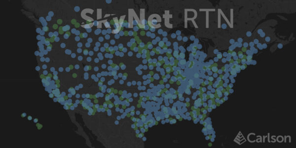
• Automated search and retrieval of reference geodetic control and GNSS observations from organizations such as the US National Geodetic Survey and Continuously Operating Reference Station (CORS) networks
• Automated search and retrieval of SP3 precise ephemeris files as well as ionosphere model files
• Rigorous least squares adjustment of all computed vectors
• Seamless integration with downstream applications from Carlson and other vendors
• Fast, multi-thread processing option
• Set sampling interval to override a long, 1-second interval dataset
• Manual NGS CORS selection option to select your preferred CORS
• SurveyGNSS now also works offline. Typical online functionality (downloading reference station data, background map) will not be available. Vector processing is available, as well as GNSS Resection(s)
Optional Features
• SurveyGNSS supports Precise Point Positioning (PPP) as a separate module. Raw data from any single or dual frequency phase data receiver can be used for PPP processing. There is no need for a base or reference network; the receiver can log data autonomously. Depending on observation time, centimeter-accuracy is achievable.
• SurveyGNSS uses locally available Positions and associated Observations to compute GNSS Resections and Virtual Reference Stations. The Virtual Reference Station is created as a RINEX file. The VRS can be used as base in both static and stop and go surveys.
Related products
-
Carlson Skynet
$1,500.00 -
Carlson Listen-Listen
$750.00 -
 Select options This product has multiple variants. The options may be chosen on the product page
Carlson SurvPC
Price range: $1,750.00 through $1,950.00